

This old chart
by Anton Zuiker on April 3, 2019
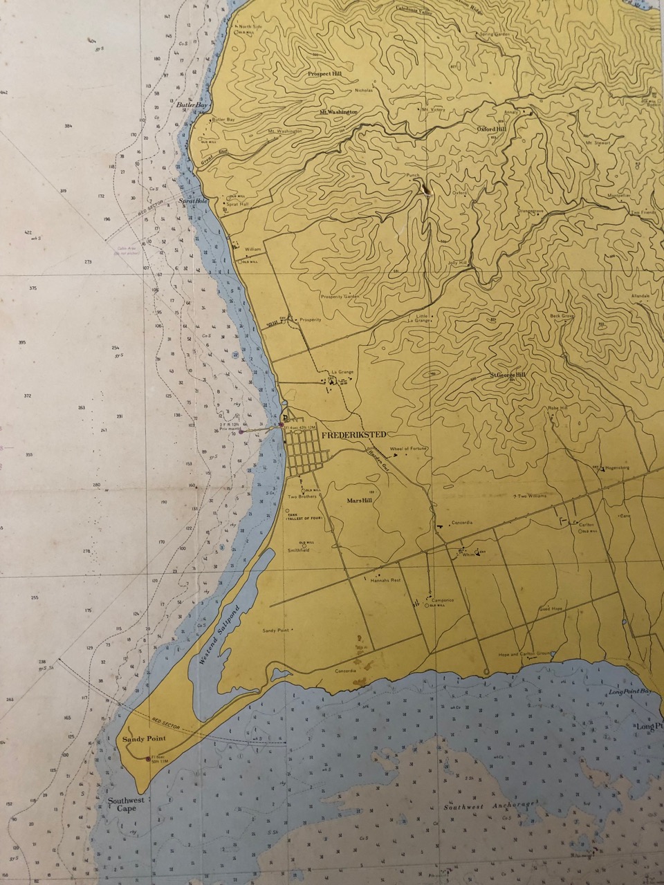
NOAA chart from 1966 showing the West End of St. Croix
When we visit St. Croix, we often start the day at Polly’s at the Pier, a restaurant in Frederiksted with good coffee and milkshakes and various breakfast items. As the name suggests, Polly’s has an amazing view of the long pier where cruise ships sometimes spend the day and where as a boy I often watched U.S. Navy destroyers and attack submarines tie up.
On the wall at Polly’s is a large print of a 1966 edition of the nautical chart of the west end of the island. (Sandy Point, which I wrote about last night, is the peninsula at the lower left.) Last week, I snapped a photo so I could search out a copy of my own.
I started my search tonight, and after a few dead ends, found the historical map & chart collection of the United States Office of Coast Survey, part of the National Oceanic and Atmospheric Administration. That collection gave me a high-resolution jpeg of the 1966 chart, as well as versions from other years. Now I can print and frame a copy for my own wall.
Next post: Standing in the rain | Previous post: March madness | Go to HOME